Most people pick one data type and stick with it. That’s how you end up with broken analysis.
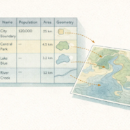
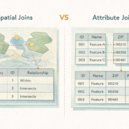
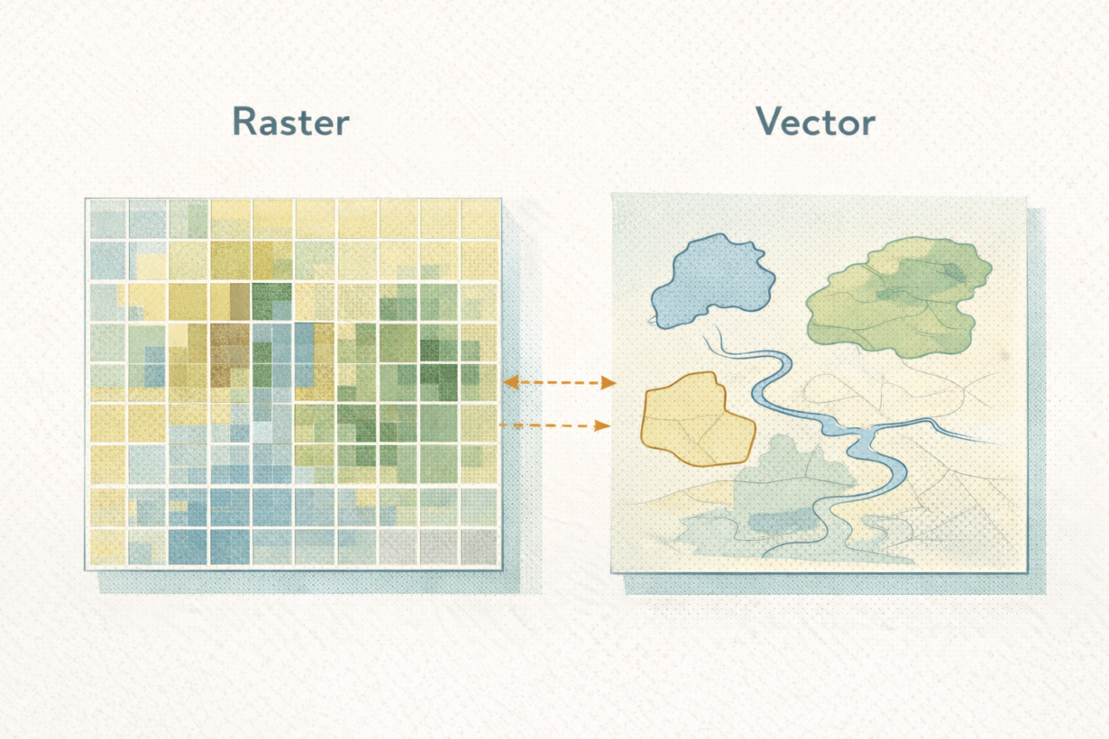
Vector data represents discrete features: buildings, roads, parcels, property boundaries. Each feature is a point, line, or polygon with attributes. Vector answers questions like: Which buildings are in the floodplain? How many schools are within 2km? What’s the perimeter of this zone?
Raster data represents continuous surfaces: elevation, temperature, precipitation, land use classification. A raster is a grid where each cell has a value. Raster answers questions like: What’s the average elevation across this watershed? How much area has temperature above 30°C? Where is vegetation density highest?
The mistake: trying to do raster analysis with vector, or vector analysis with raster. Buffer operations make sense with vector. Zonal statistics make sense with raster. If you’re working in pure vector and need to aggregate continuous data, you’ll get frustrated fast. If you’re in pure raster and need to identify individual features, you’re inefficient.
Modern GIS workflows intentionally convert between both. Start with raster satellite imagery, vectorize meaningful features. Clip raster data using vector boundaries. Rasterize vector layers to run neighborhood analysis. The right tool depends on the question, not the format you started with.
The takeaway: Vector for discrete features and boundaries. Raster for continuous fields and area-based analysis. Master both. Stop choosing one and living with its limits. Real workflows convert between them deliberately. That flexibility is what separates competent analysis from stuck workflows.
Whenever you’re ready, here are 4 ways I can help you grow in GIS & spatial data:
Spatial Lab – My private community where GIS professionals, data engineers, and analysts connect, swap workflows, and build repeatable systems together.
Modern GIS Accelerator – A guided program to help you break out of legacy GIS habits and learn modern, scalable workflows.
Career Compass – A career-focused program designed to help GIS pros navigate the job market, sharpen their pitch, and find roles beyond traditional GIS paths.
Sponsorship: Interested in sponsoring this newsletter (or other content)? Learn more here and fill out the form to get in touch!