Most people pick a CRS once and never think about it again. That’s how broken analysis happens.
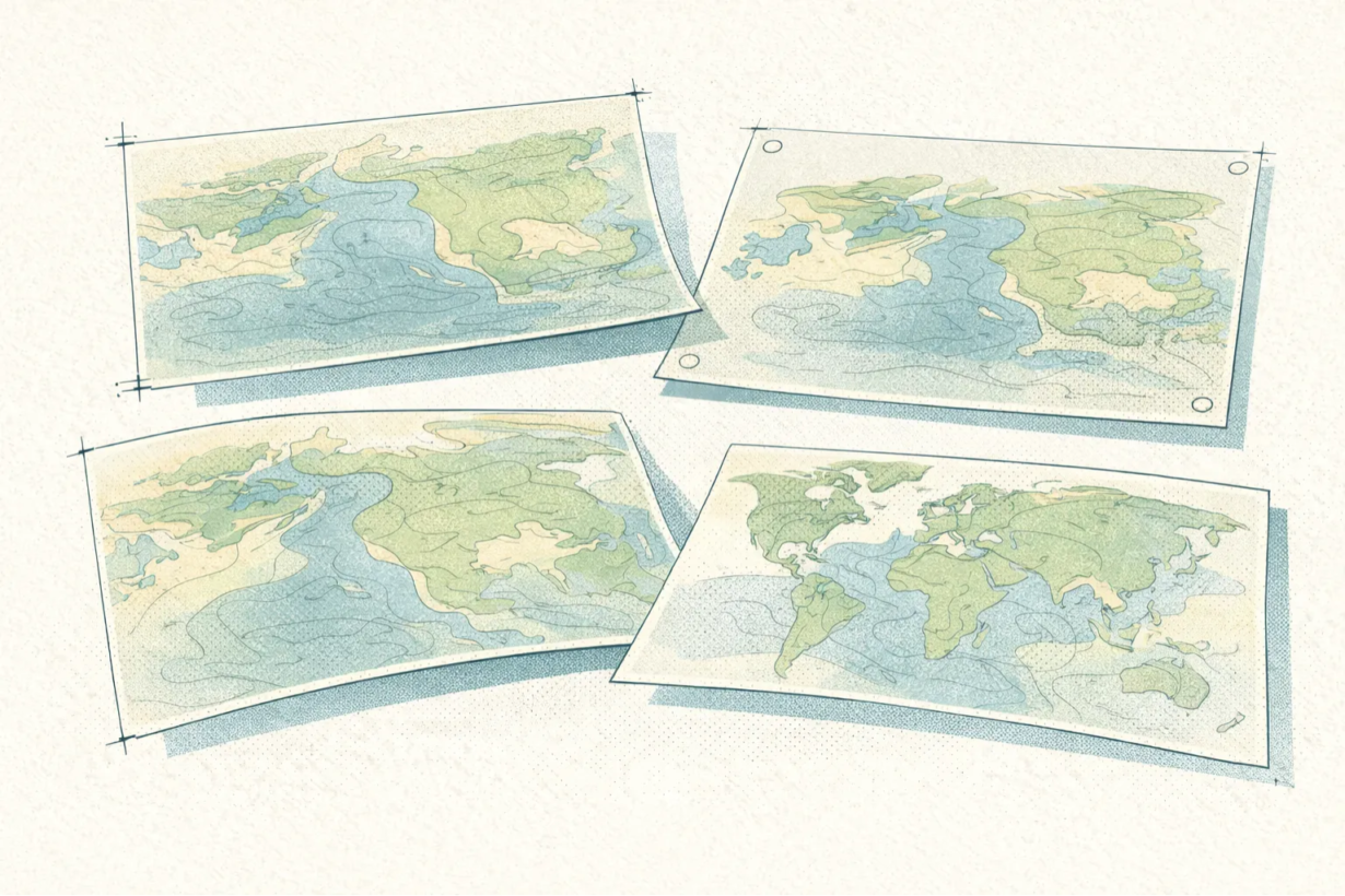
Every map projection distorts reality. You can’t preserve everything: distance, area, shape, and direction all at once. Projections force tradeoffs. Which distortion you accept depends on what you’re actually measuring.
Area-preserving projections (equal-area) distort shape and distance. Good for: calculating hectares, density analysis, anything where accurate area matters more than accurate distance. Albers Equal Area works well for regional US analysis.
Distance-preserving projections (equidistant) distort area and shape. Good for: measuring distance from a point, logistics, anything where “how far” is the question. Azimuthal equidistant works from a specific center point.
Shape-preserving projections (conformal) distort area. Web Mercator does this. Good for: web maps where visual consistency matters. Terrible for: actual measurement. Never analyze in Web Mercator.
Direction-preserving is rare and usually not your priority.
Here’s the rule: match the projection to the analysis. A national-scale buffer analysis and a municipal zoning analysis need different projections. A national dataset using the same CRS everywhere is a red flag. Local analysis gets local projections (UTM, State Plane). Global datasets need intentional tradeoff choices, not defaults.
The check: Before analysis, ask: Am I measuring distance, area, or neither? Am I analyzing one region or many? Then pick accordingly. If someone hands you a national dataset in a single CRS and claims it’s ready for analysis, reproject before you trust the results.
Whenever you’re ready, here are 4 ways I can help you grow in GIS & spatial data:
Spatial Lab – My private community where GIS professionals, data engineers, and analysts connect, swap workflows, and build repeatable systems together.
Modern GIS Accelerator – A guided program to help you break out of legacy GIS habits and learn modern, scalable workflows.
Career Compass – A career-focused program designed to help GIS pros navigate the job market, sharpen their pitch, and find roles beyond traditional GIS paths.
Sponsorship: Interested in sponsoring this newsletter (or other content)? Learn more here and fill out the form to get in touch!