Most people treat GIS and spatial data science as the same thing. They’re not.
GIS answers where and what. What’s in this location? Where are the parcels? What’s the zoning? What properties fall in the floodplain?
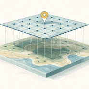
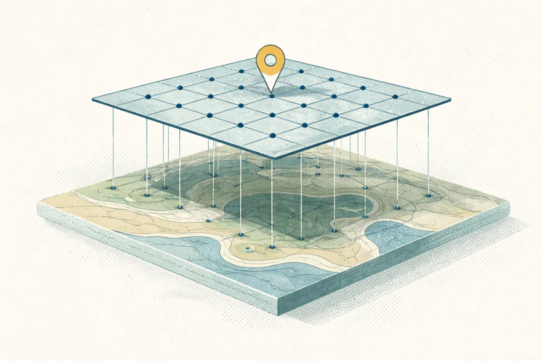
GIS tools excel at storing, querying, and visualizing spatial data. The workflow is: ingest data, organize it in a spatial database, query it, render it on a map. The outcome is typically a map, a report, or a spatial query result. GIS is management-first.
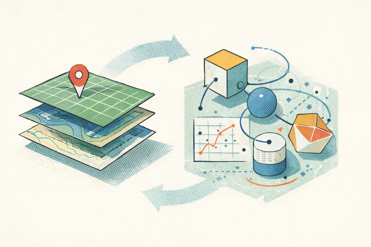
Spatial data science answers why, what next, and what if. Why do sales decline in certain neighborhoods? What will population density look like in five years? What if we relocate the warehouse here instead? Which neighborhoods are most vulnerable to flooding given climate projections?
Spatial data science uses modeling, prediction, and statistical inference. The workflow is: collect data, engineer spatial features (distance to nearest road, neighborhood density, adjacency patterns), train models, validate results. The outcome is a prediction, probability, or optimization. Spatial data science is analysis-first.
The gap widens when you scale. A GIS analyst queries existing data. A spatial data scientist builds predictive models that synthesize multiple datasets and make recommendations the organization hasn’t seen before.
But here’s what’s changing: modern GIS increasingly borrows patterns from data science. SQL-based workflows (DuckDB, SedonaDB, PostGIS), ML integration (scikit-learn on spatial features), and pipeline thinking (dbt, Airflow) are now standard in cloud-native geospatial stacks. And many spatial data scientists need GIS literacy to build production systems that actually work.
The takeaway: Use GIS when your job is to maintain, query, communicate, and update spatial information.
Use spatial data science when you need to predict, explain variance, or optimize decisions. The best geospatial roles today require both. Analysts who understand data engineering, statistical modeling, and spatial indexing unlock work that pure GIS specialists or pure data scientists can’t reach alone.
Learn the discipline you’re weakest in first.
Whenever you’re ready, here are 4 ways I can help you grow in GIS & spatial data:
Spatial Lab – My private community where GIS professionals, data engineers, and analysts connect, swap workflows, and build repeatable systems together.
Modern GIS Accelerator – A guided program to help you break out of legacy GIS habits and learn modern, scalable workflows.
Career Compass – A career-focused program designed to help GIS pros navigate the job market, sharpen their pitch, and find roles beyond traditional GIS paths.
Sponsorship: Interested in sponsoring this newsletter (or other content)? Learn more here and fill out the form to get in touch!