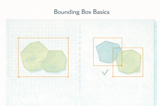
A spatial join that should match 100% of features matches 87%. The geometries look identical. The problem is math.
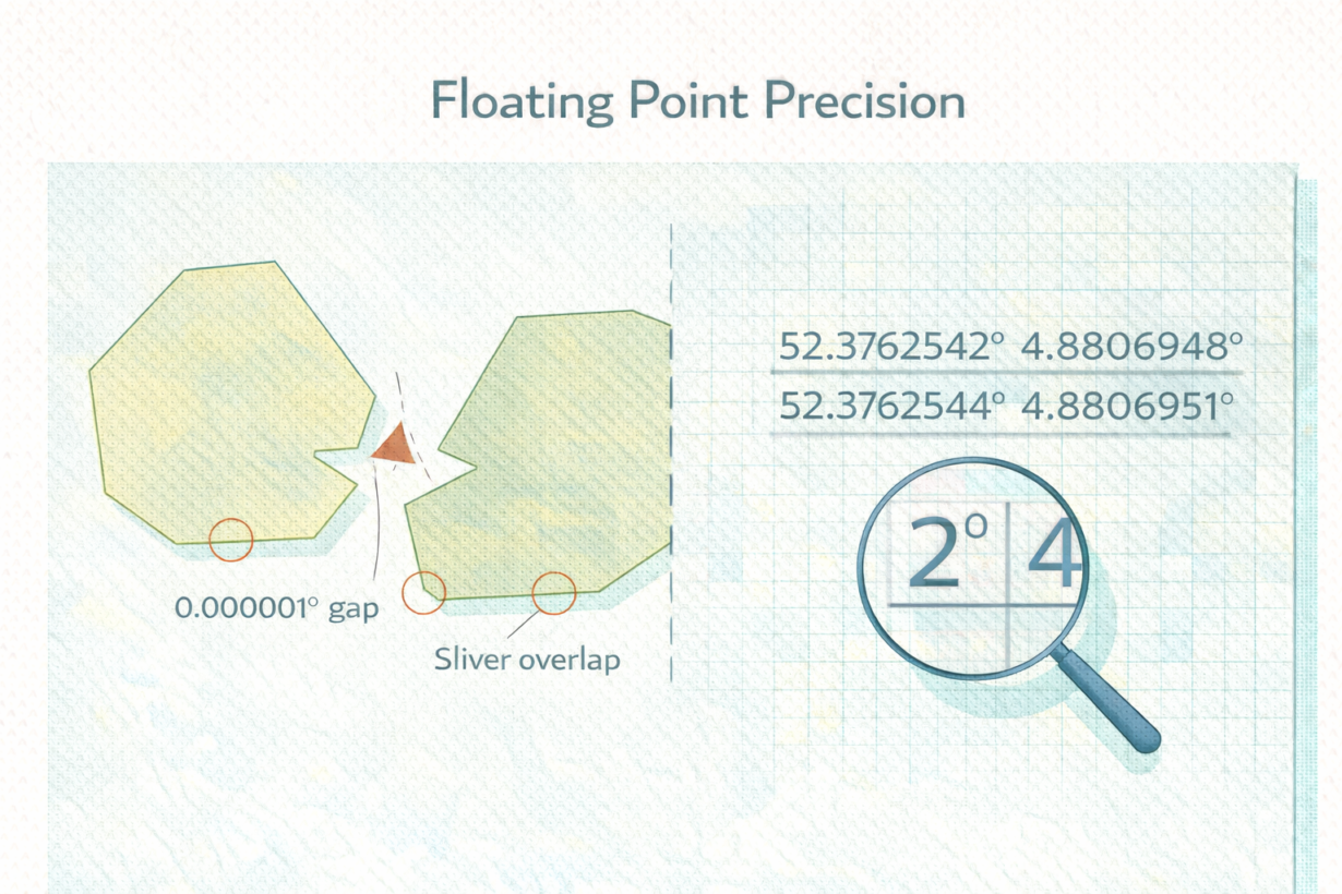
Coordinates are stored as floating point numbers—approximations, not exact values. A degree of latitude isn’t stored as a perfect number. It’s approximated. When you reproject, buffer, intersect, or dissolve, floating point operations accumulate rounding error. Coordinates drift by 0.000001 degrees. On screen, invisible. In a spatial join, fatal.
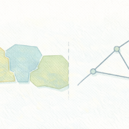
Here’s what happens: two boundaries that should share an edge are offset by 0.0000001 degrees. The spatial join looking for exact matches fails. You get a sliver—a tiny gap between features that should be adjacent. Union a zoning layer with a floodplain, and slivers multiply. Dissolve, and self-intersections appear. All caused by math rounding, not bad data.
Reprojection amplifies this. Converting from geographic (degrees) to projected (meters) involves trigonometric functions that introduce error. Converting back introduces more. Chain multiple projections, and precision compounds.
This is why snapping and tolerances exist. They’re not approximations—they’re protective. A snap tolerance tells the system “if coordinates are within X distance, treat them as equal.” This prevents joins from failing on invisible precision errors.
The rule: Before complex overlay operations (union, intersect, dissolve), snap geometries to a reasonable tolerance. Check for slivers and gaps after union. If joins mysteriously fail, check precision alignment first. Snapping isn’t cheating—it’s accounting for how computers store numbers.
Whenever you’re ready, here are 4 ways I can help you grow in GIS & spatial data:
Spatial Lab – My private community where GIS professionals, data engineers, and analysts connect, swap workflows, and build repeatable systems together.
Modern GIS Accelerator – A guided program to help you break out of legacy GIS habits and learn modern, scalable workflows.
Career Compass – A career-focused program designed to help GIS pros navigate the job market, sharpen their pitch, and find roles beyond traditional GIS paths.
Sponsorship: Interested in sponsoring this newsletter (or other content)? Learn more here and fill out the form to get in touch!