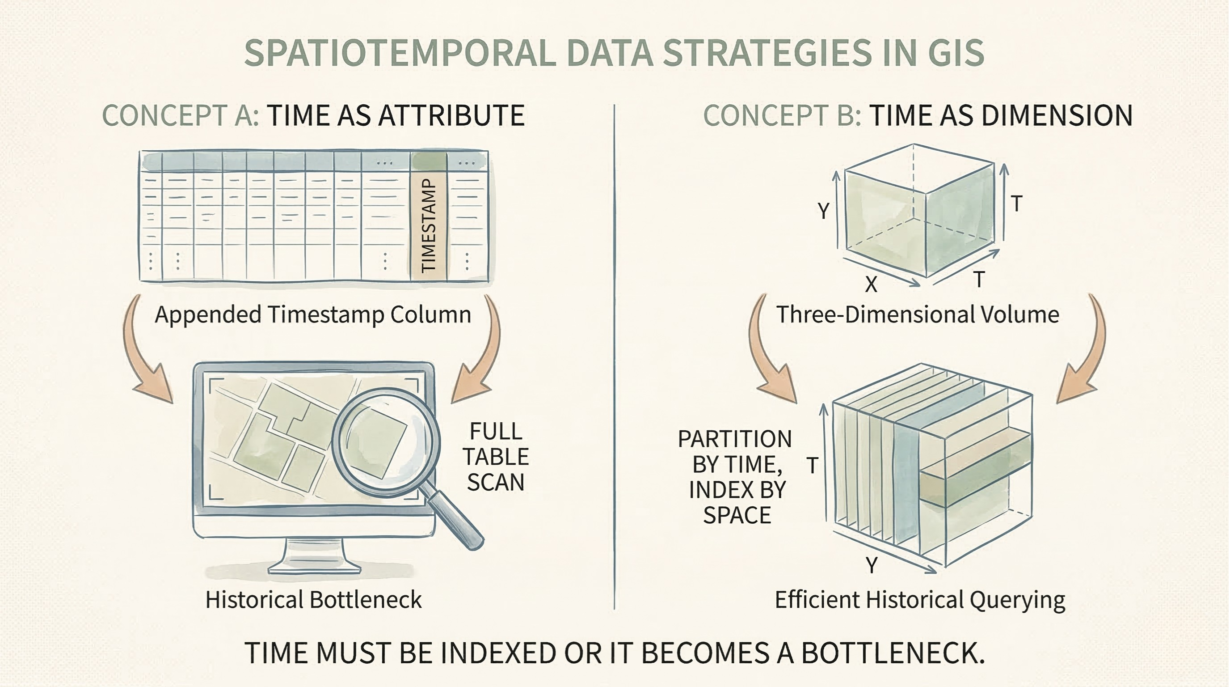
Time is not metadata. It’s a spatial dimension. Treating it as a passive column is how you destroy historical analysis and guarantee full table scans.
Time is indexed or it’s a bottleneck. Static GIS queries filter: “parcels in this zone.” Spatiotemporal queries filter three dimensions: “parcels in this zone at this date.” If time isn’t in your index, you scan every row. That’s the difference between 1 second and 1 hour.
Valid time vs. transaction time matter. Valid time is when the change actually happened in the real world. Transaction time is when you recorded it. A parcel boundary changed on January 1st (valid time) but you discovered it on March 15th (transaction time). Without both, you can’t reconstruct history correctly. Append-only storage preserves both. Overwriting destroys the past.
Moving geometries vs. changing attributes require different models. A delivery truck’s GPS point changes continuously (trajectory). A parcel’s ownership changes occasionally (state change). Trajectories belong in append-only event streams. Static geometries with changing attributes belong in Slowly Changing Dimension tables or bitemporal models. Same data, opposite storage strategies.
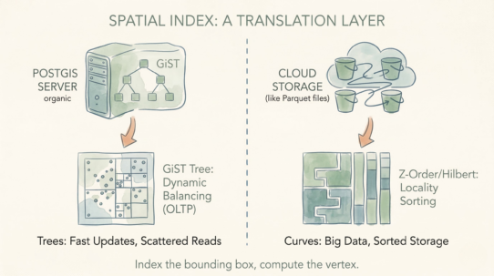
Partition by time, index by space. A time-first partition (days, months) with spatial secondary indexes prevents full scans. Spatial-first partitioning with temporal filtering becomes sequential scans on every time query.
The rule: If you overwrite your geometries, you’ve destroyed your historical analysis. Partition by time, index by space. Time is a dimension; if it’s not in your index, it’s a bottleneck.
Whenever you’re ready, here are 4 ways I can help you grow in GIS & spatial data:
Spatial Lab – My private community where GIS professionals, data engineers, and analysts connect, swap workflows, and build repeatable systems together.
Modern GIS Accelerator – A guided program to help you break out of legacy GIS habits and learn modern, scalable workflows.
Career Compass – A career-focused program designed to help GIS pros navigate the job market, sharpen their pitch, and find roles beyond traditional GIS paths.
Sponsorship: Interested in sponsoring this newsletter (or other content)? Learn more here and fill out the form to get in touch!