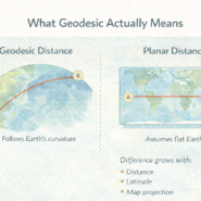
High-resolution data doesn’t automatically work at every scale. Confusing the two is how you end up with slow pipelines and misleading maps.
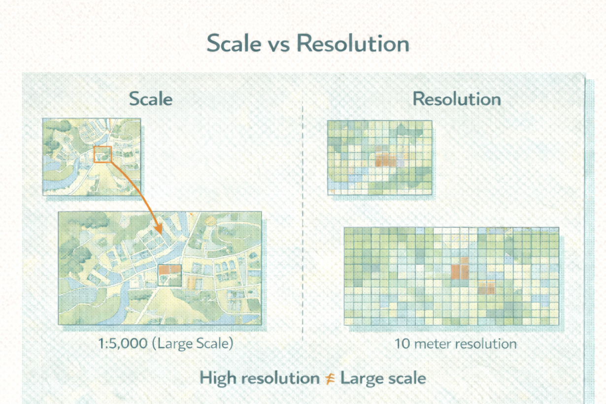
Scale describes the level of detail at which data is intended to be viewed or analyzed. A 1:24,000 map shows more detail than a 1:100,000 map. Scale is about context. What story are you telling? Regional infrastructure trends? Then 1:500,000 scale. Individual parcel analysis? Then 1:10,000. Scale determines meaning.
Resolution describes the smallest unit of measurement—the granularity. A raster with 10-meter pixels has finer resolution than one with 100-meter pixels. A vector dataset with 1-meter coordinate precision has finer resolution than one with 10-meter precision. Resolution is about detail captured.
Here’s where people break things: they load high-resolution data (1-meter imagery, fine vector detail) and analyze it at regional scale (1:500,000). The extra detail adds noise, not insight. You’re looking at individual trees when you need to see the forest. And your pipeline crawls because you’re processing data that’s finer than your question requires.
Conversely, analyzing at detailed scales with coarse-resolution data produces generalized, misleading results. A 100-meter raster doesn’t capture parcel boundaries.
The rule: Choose scale first. What level of analysis do you need? Then match resolution to that scale. Never assume high resolution means better. It means slower and noisier unless the scale justifies it. Resample or simplify data before analysis if resolution exceeds your scale. That cuts compute cost and clarifies results.
Whenever you’re ready, here are 4 ways I can help you grow in GIS & spatial data:
Spatial Lab – My private community where GIS professionals, data engineers, and analysts connect, swap workflows, and build repeatable systems together.
Modern GIS Accelerator – A guided program to help you break out of legacy GIS habits and learn modern, scalable workflows.
Career Compass – A career-focused program designed to help GIS pros navigate the job market, sharpen their pitch, and find roles beyond traditional GIS paths.
Sponsorship: Interested in sponsoring this newsletter (or other content)? Learn more here and fill out the form to get in touch!